
| View Slideshow | |||
|
|

|
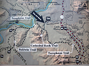
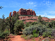
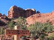
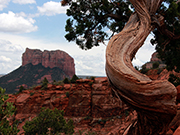
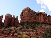
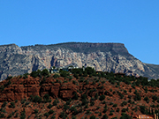
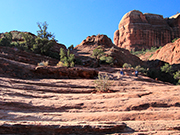
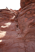
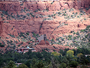
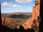
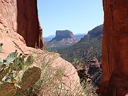
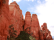
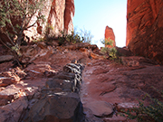
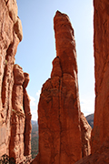
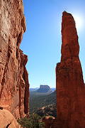
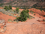
Cathedral Rock Trail – The map for this hike is shown in the first slide. You leave from parking lot on Back O'Beyond Rd. This parking lot is small so it can be hard to find parking. The trail up to Templeton is .3 miles and is not very difficult. After you pass Templeton, the trail gets much steeper. There is 600' elevation gain in .7 miles with most of it in the last .4 miles. For the most part, the trail is not too difficult but there are a few places, as shown in slide 11, that are tricky. A lot of it is bare rock which is not slippery unless it is wet. I would not recommend this hike if it is threatening rain. I think many people come down on their butt in some of the steep sections. You will see a sign when you get to the saddle that says end of trail. I highly recommend that you continue to the left and you will be able to climb up between the spires and get an incredible view. Slides 17 - 21 show this section. It is a clamber but not that difficult and definitely worth it.. |
|

|
|
|
|
|
|
|
|

|
|
|

|

|
|
|
|
|
|
|
|
|
|
|