
| Enter Slide Show | |||
|
|
|
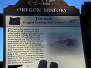
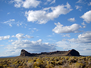
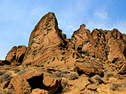
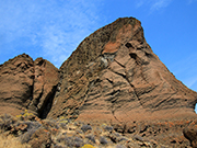
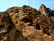
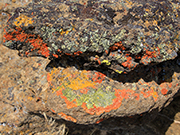
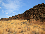
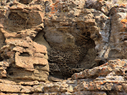
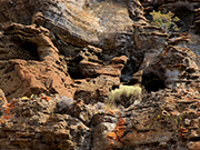
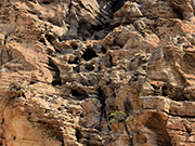
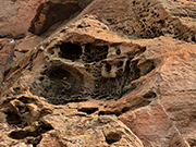
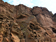
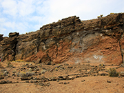
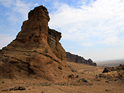
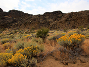
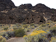
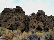
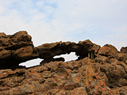
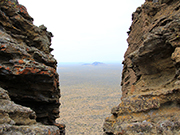
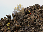
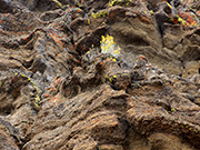
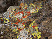
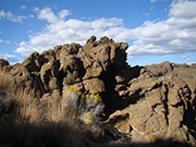
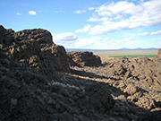
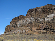
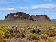
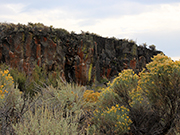
Fort Rock State Natural Area. This is located in central Oregon in the high desert. Take Hwy. 31 southeast from Hwy. 97 just south of La Pine. It is 29 miles to left turn on Fort Rock Rd and then another 7 miles to the Fort Rock formation. Fort Rock is a tuff ring formed millions of years ago by volcanic ash. It forms a near perfect circle of towering, jagged rock walls although part of the ring has deteriorated due to weather. It is an easy hike around the inside of the ring and there are paths close to the foot of the cliffs. Starting at the parking lot, I recommend going counter clockwise around the fort and that is the order of my photographs. Mostly you are walking at the foot of the rock walls but on the far side, there is a path that leads up into the cliffs. As you get near the top, you can see the surrounding area both to the west and the east;- a bright green irrigation circle provides quite a contrast to the dry area within the fort. I thought it interesting that the walls on the east side had a lot of very small pitting (called taffoni); best seen in photos 5 and 11. However the walls on the far side have much larger holes and very little of the small pitting (see photos 19 and 20). The last of my photos is actually taken on Hwy. 31 rather than at Fort Rock but I loved the colors in the rock. |
|
|
| |
|
|
|
|
|
|
|
|
|
|

|
|
|
|
|
|
|
|
|
|
|
|
|