
| View Slideshow | |||
|
|
|
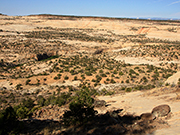
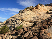
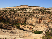
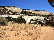
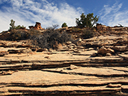
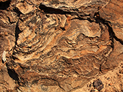
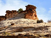
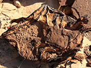
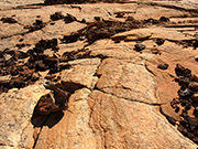
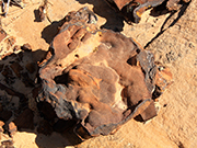
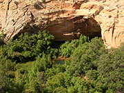
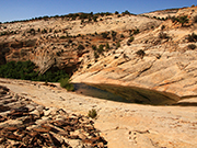
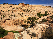
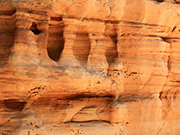
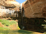
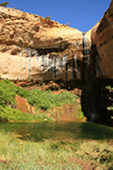
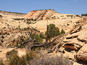
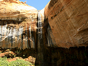
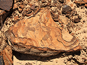
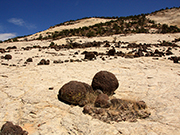
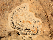
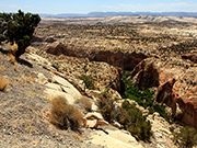
Upper Calf Creek Falls: This hike gives you wonderful views and takes you through time as you descend to the falls. The Lower Calf Creek Falls hike is much better known that this one but I find the hike to the upper falls more interesting. The hike to the lower falls is fairly level bordered by high red cliffs leading to a beautiful waterfall. The hike to the upper falls starts off of Hwy 12 after it climbs a 1,000 feet from the lower falls trailhead. The view from the top shows a grand vista of canyons and cliffs. The trail descends steeply over Navajo sandstone. While steep there is good friction and it is not difficult although a walking stick would be helpful. The top section is very light colored sandstone littered with ancient, black volcanic boulders. It then transitions into a sandy path over burnt gold sandstone which has some of the most interesting rock formations. As you get near the falls, the trail forks and goes right to the pool above the falls and left down to the bottom of the falls. Neither are very long so try both. This hike is short - only 2.2 miles round trip - but since it is steep, it is best to do it in the morning as the climb back up can be uncomfortable in the heat. The trailhead is a little hard to find. It is off Hwy 12 between Boulder and Escalante. From Boulder, go southwest for 5 miles. Look for milepost 81 and go 2/10ths of a mile past it. Turn right on an unpaved, unmarked road that leads to parking area. |
|
|
| |
|
|
|
|
| 
|
| |
|
|
|
|
|
|
|
|
|
|
|
|
|
|
|
|
|
|