
| View Slideshow | |||
|
|
|
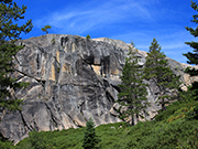
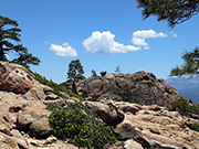
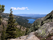
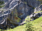
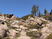
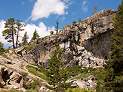
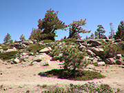
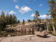
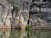
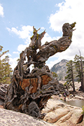
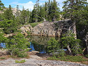
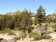
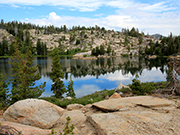
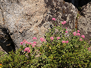
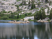
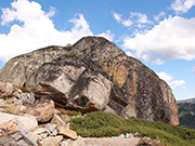
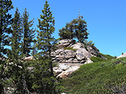
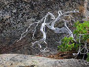
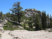
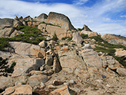
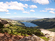
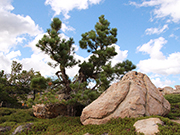
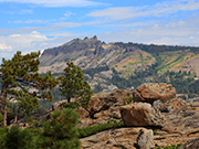
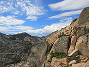
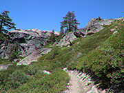
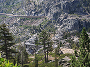
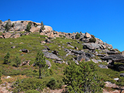
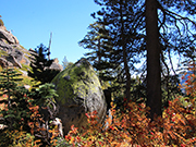
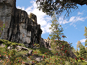
Three Lakes Loop Trail near Donner Summit - This trail takes you to Catfish Lake and Lake Angela with views of Donner Lake from several places. This is one of my favorite hikes but it is not a main trail so I am giving detailed instructions. Trail starts and ends on the Pacific Crest Trail that leaves from Donner Summit although what I show as the trailhead cuts off about 10 minutes. Trailhead: Go up old Hwy. 40 from Donner Lake. Continue past the arched bridge. Within 200 - 300 yards, you will see some roadside parking. There are short social trails that connect to the PCT. You have to scramble a little. While you can continue on the PCT over to Hwy. 80, this loop is much more interesting. It is not always easy to see the trail, so I have shown some of the landmarks in my photos. Assuming you go from the Trailhead mentioned above, the first spur trail is off to the right shortly after you turn on the PCT. It is a very short distance to a nice view of Donner Lake from large granite boulders (see slides 2 and 3). Then return and continue on the main trail. Within 5 minutes, you will pass under some power lines. Look for a trail to your left. This trail is rocky and uneven and sometimes hard to see. Look for the tree that has 2 trunks shaped in a V (see slides 5 and 6). The path goes to the left of this tree. Shortly after passing this tree, climb the granite to your right. There is a little bench and then another scramble up the granite. The trees shown in slide 7 are just to the left of Catfish Lake. It can be a little hard to find but keep looking as it is beautiful, and special since it has a lot of miniature catfish in it. The kids and dogs will love it. The story I heard from another hiker was that the pool had originally been stocked by Chinese workmen who were building the railroad back in the 1800s. Over time, the catfish have acclimatized to the small pool by becoming smaller. They somehow survive in a pond that is frozen over half the year. From Catfish Lake, look for a trail heading west. In a few minutes, you will see Lake Angela (slides 13 & 15). There are a lot of social trails that will take you to the water's edge and you can wander north along the edge or there is a main path running north before you get to the lake. As you near the north end of the lake, the trail branches. Going to the left takes you to the end of the lake. Going to the right takes you back to the main PCT in about 5 minutes. Turn left (east) on the PCT. The trail zig zags up the hill toward the George R Stewart Peak shown in slide 19. As you near the peak, the PCT goes left down the hill and another spur trail goes up towards the Peak. Again, trail is sketchy but if you keep heading up you will get to the top just to the left of the peak. There is a lovely tree so you can sit in the shade and enjoy some amazing views, including Donner Lake and Castle Peak (slides 20-24). It's a great place to take a break or have lunch. Then return to the PCT, take a left turn and head back towards the starting point. There are switchbacks down most of the mountain. This trail is easy to follow but rocky with great views the whole way. Warning, if you have bad knees, you probably want to avoid this trail as it is very uneven. |
|
|
|
|
|
|
|
|
|
|
|
|
|
|
|
|
|
|
|
|
|
|
|
|
|
|
|
|
|
|
|
|
|
|